![]()
![]()

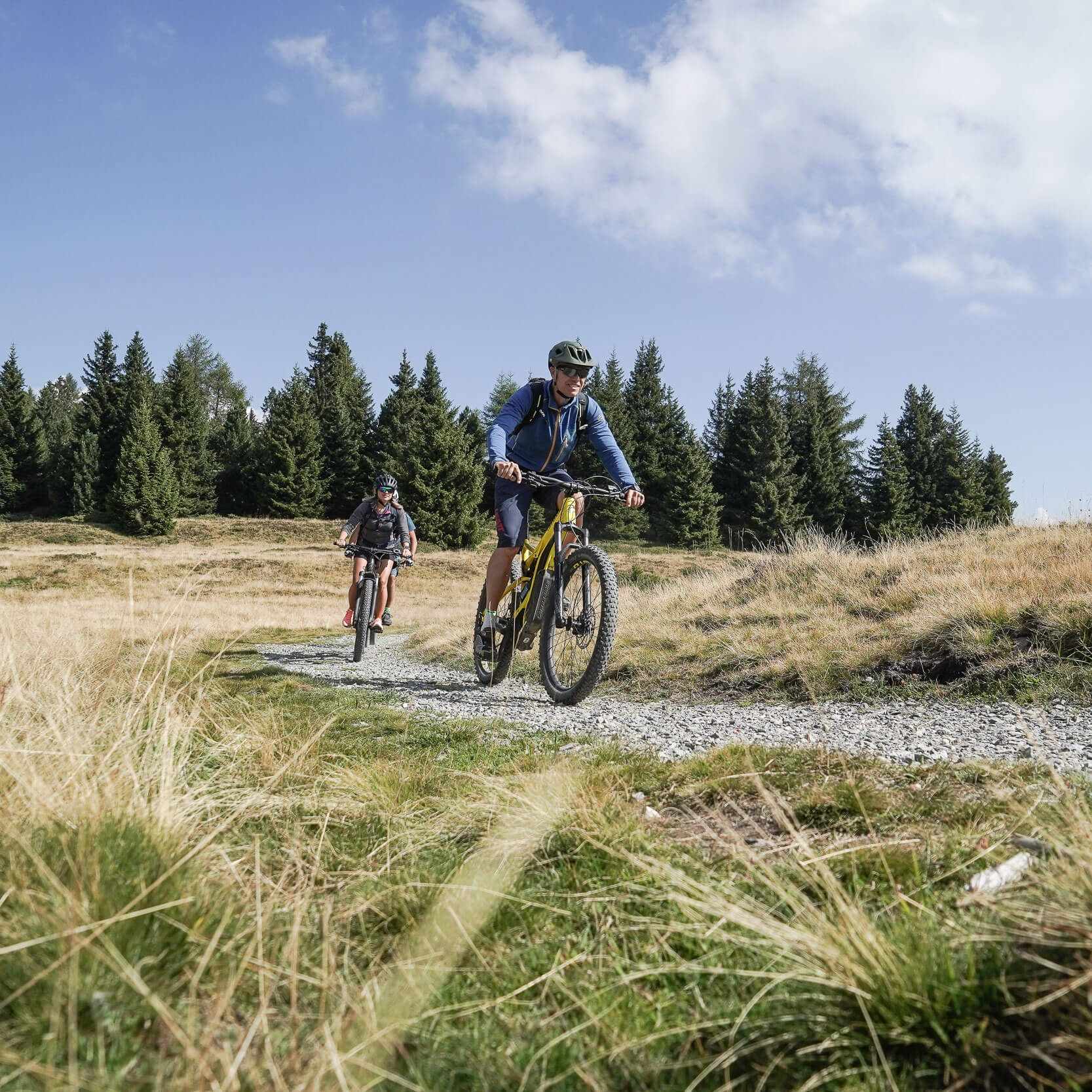
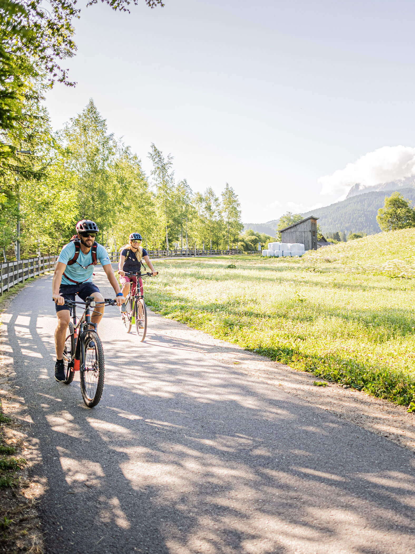
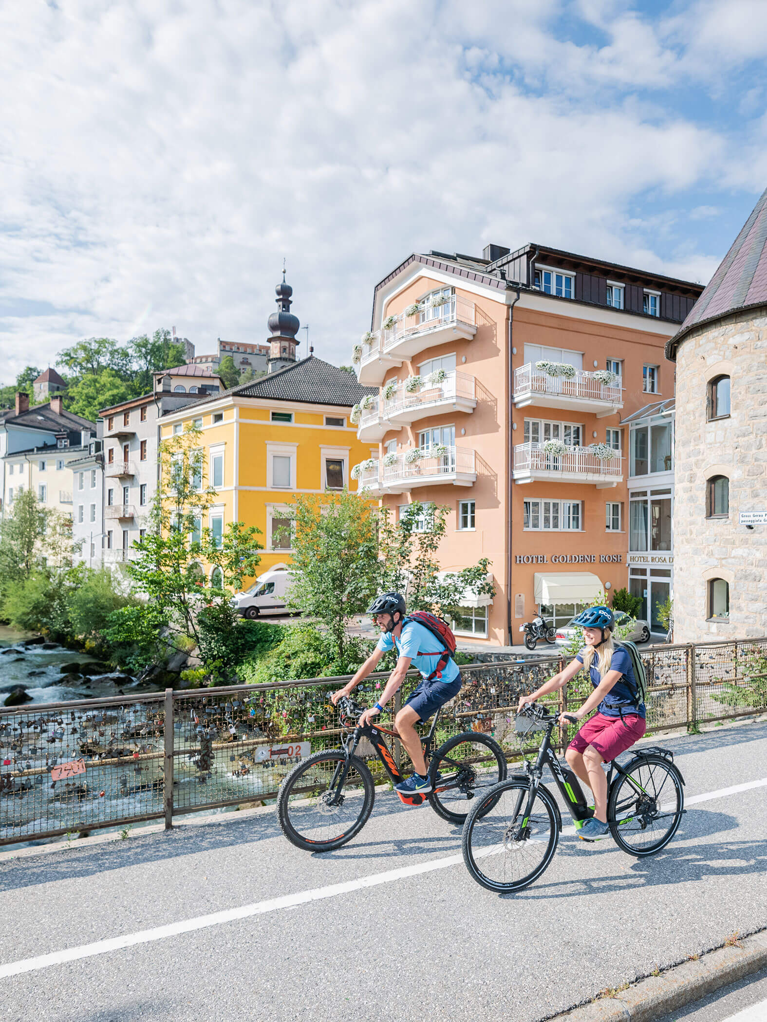
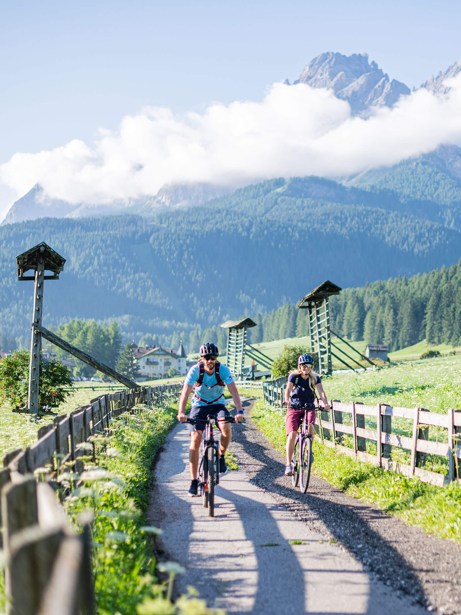
Biking & MTB tours in Val Pusteria – South Tyrol
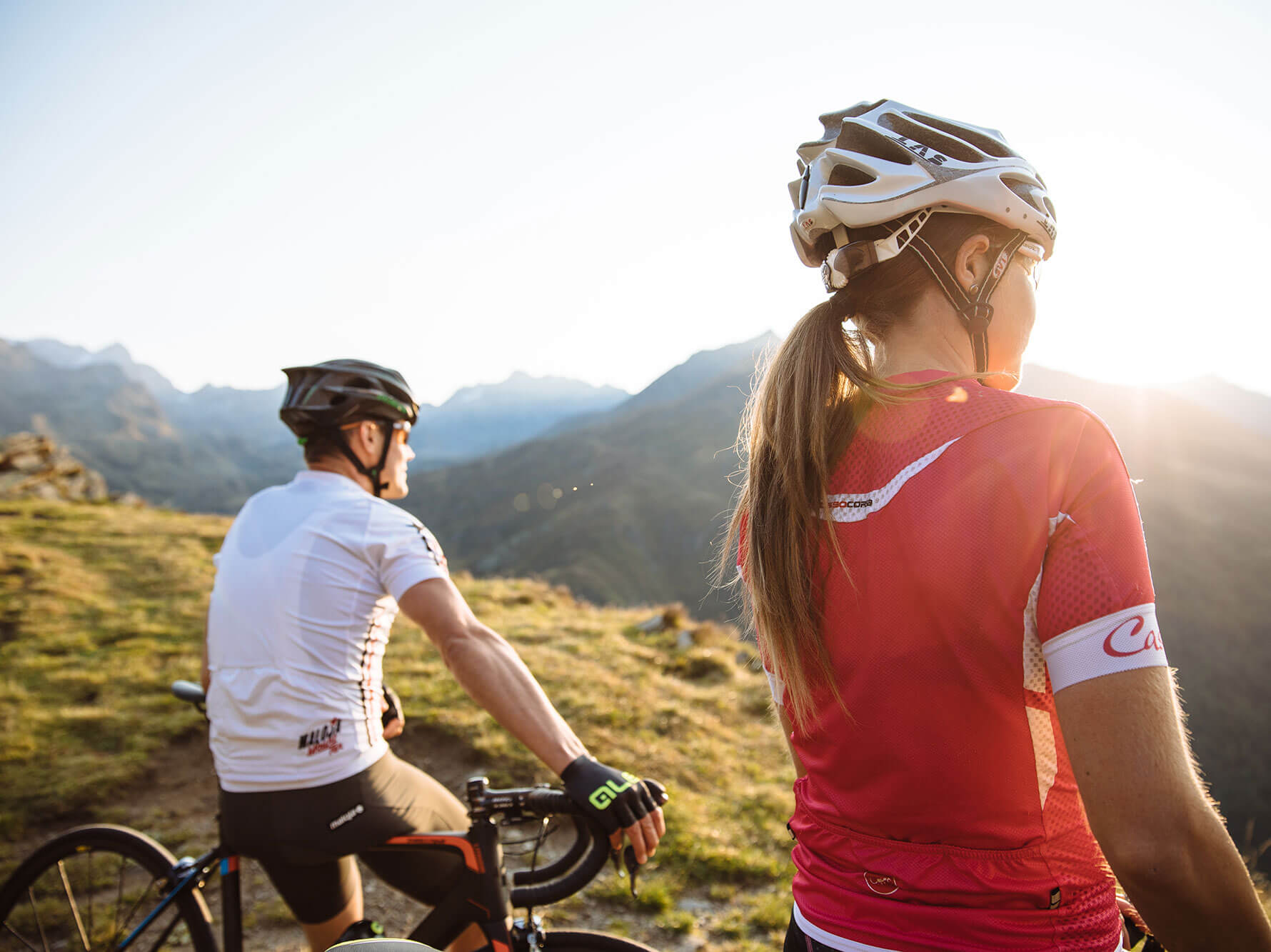
The joys of cycling
Pedalling. Breathing in and out. Feeling the beating of your heart. Thrills and goose pimples. What kind of cyclist are you? Easy-going, who likes to cycle with friends and who appreciates the landscape and the beauty of nature? Or one who seeks thrilling descents to feel truly alive? Are you one of those more fanatical types almost always seen alone on the beloved saddle, for whom cycling is like an addiction and who are happiest when faced with even the most daunting of challenges? Ambitious, extreme-minded, who gladly shuns the label of “normal” and tries to constantly stretch their limits?
„I’ve solved more problems on a bicycle
than in the conference room.
You get really clear in your head.
A lot of top managers confirm this“
than in the conference room.
You get really clear in your head.
A lot of top managers confirm this“
-Andy Rihs
Whatever your relationship with mountain bikes, here in Alta Pusteria you will find the perfect and most rewarding tours for your cycling holiday. You can choose them directly on our site or, better still, ask your host, a keen cyclist like yourself …

Our highlights for your MTB & cycling holiday in Val Pusteria
- Free hire of mountain bikes
- Hire of e-bikes (at a fee)
- Tips and advice especially for you by the host, also a keen cyclist
- Guided e-bike tours 3 times per week (for an additional charge)
- Bicycle storage
- Washing service for riding gear
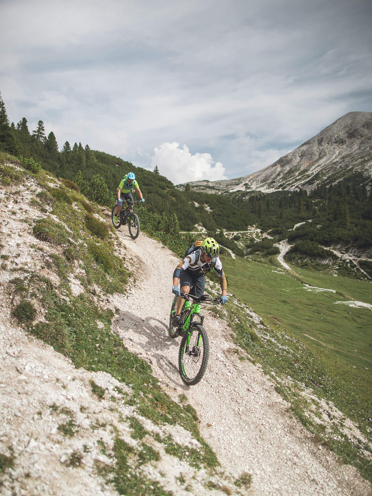
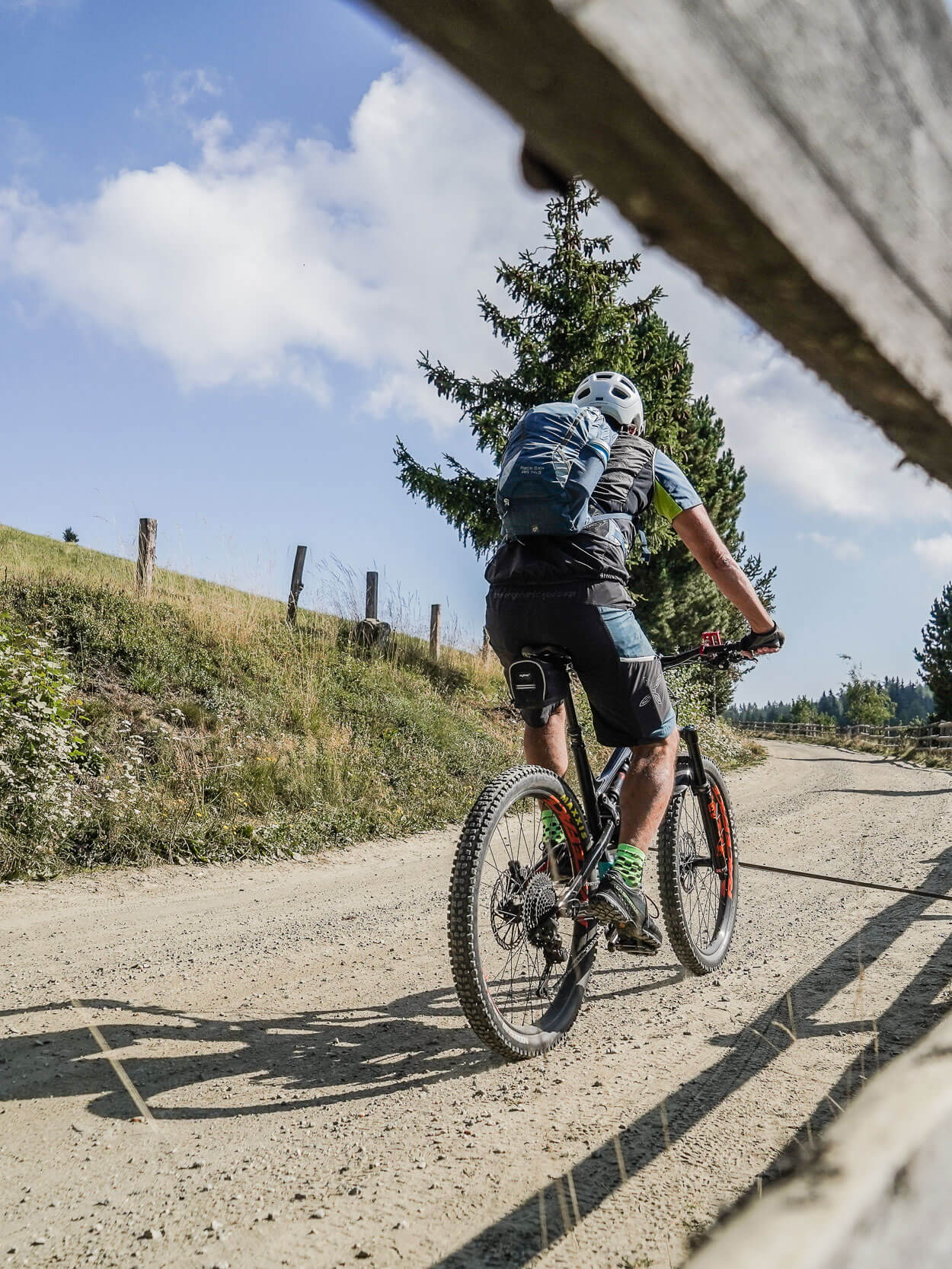
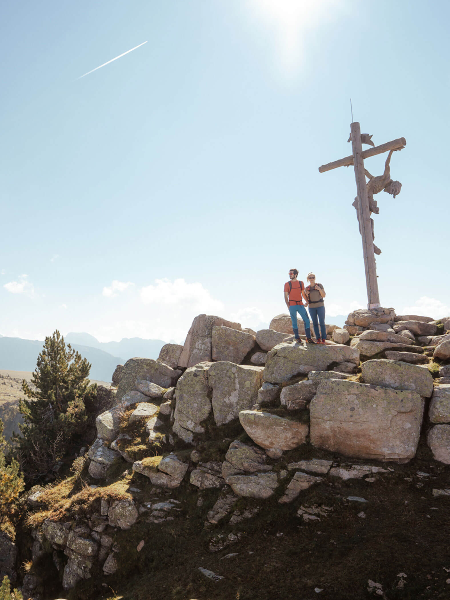
For heroes of the saddle & mountain biking enthusiasts:
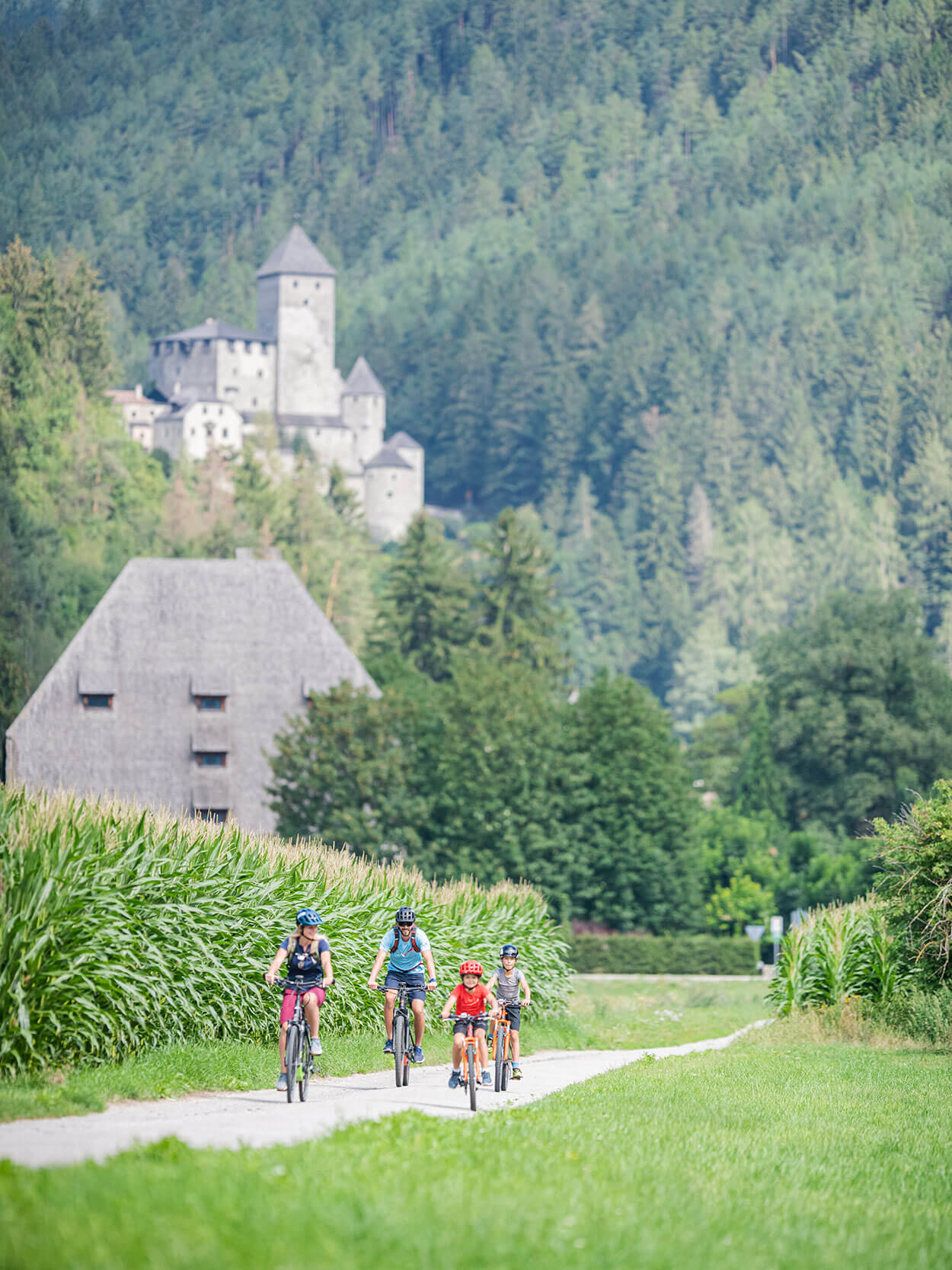
Easy mountain biking tours for beginners & families
The Val Pusteria cycle route
The best way to explore Val Pusteria on the saddle is to follow the cycle route of the same name. Your cycling adventure begins at Rio di Pusteria, and from there you can ride through the towns of Vandoies di Sotto, Vandoies di Sopra, Chienes, Casteldarne, San Lorenzo di Sebato and Brunico. This stretch is particularly suitable for beginners and “Sunday cyclists” because it is flat and just 25.5 km long. The cycle route gently ascends after Brunico: it is then 33.5 km to San Candido, taking in Perca, Valdaora di Sotto, Mezzo and Sopra, Ried, Villabassa and Dobbiaco. The third stretch of the Pusteria cycle route is the most popular, which takes you from San Candido to Versciaco and Prato alla Drava, on the border with Austria. It then follows the Drava River to Lienz. Although this last stretch is 44 km, it is also quite easy, because it is always on the level or downhill. You can take the train back at any point. If the entire cycle route is too long for you, you can simply cover some of the shorter distances and take the train when you so desire.
Starting point: Rio Pusteria
Duration: approx. 6-7 hours
Length: 105 km
Type of road: paved cycle route
Difficulty: easy
Difference in altitude: approx. 500 metres
From Brunico to Campo Tures
From Brunico you follow the main road to San Giorgio; and continue along the paved cycle route through Gais and Villa Ottone to Campo Tures. You return the same way.
Starting point: Brunico
Duration: 2 ½ h
Length: 18 km
Difficulty: easy
Difference in altitude: approx. 100 metres
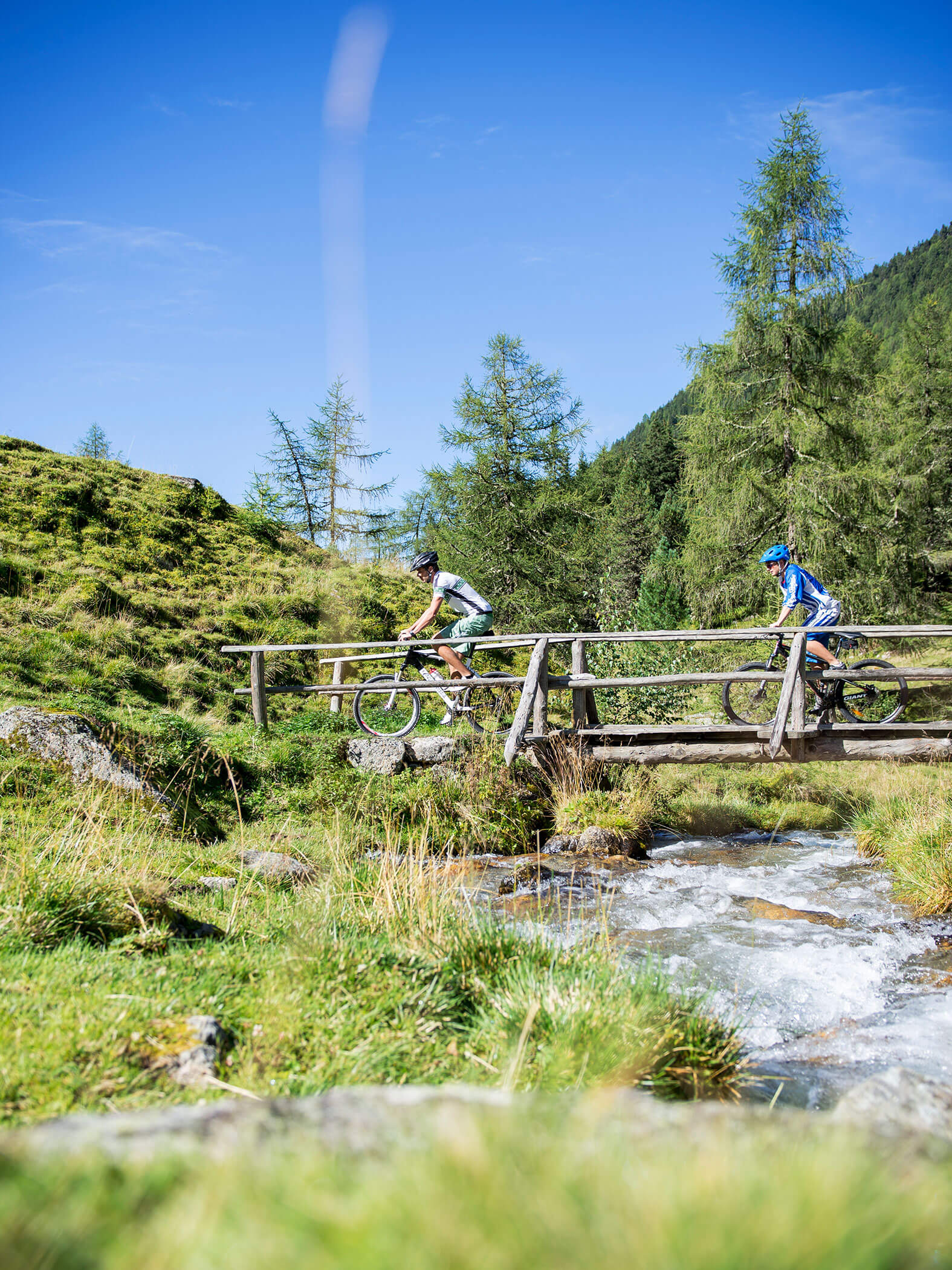
MTB tour of medium difficulty for “seasoned” cyclists
Astnerberg mountain hut
From our Hotel Terentnerhof, set off on your MTB in the direction of the hamlet of Marga in Val Pusteria. Beyond the hamlet, in the woods, you turn right, towards Sonnenberg. Just below the path to the mills are the earth pyramids, at an altitude of approx. 1,300 m. Continue to Rio Terento, cross the wooden bridge and carry on along the Rhododenron trail (“Alpenrosensteig” in German, no. 8) uphill to Gols. There is then a narrow downhill country path when you should push your bicycle for about 5 minutes. Another path in the woods takes you to the Astnerberg mountain hut. Here you can sit awhile and enjoy an excellent Tyrolean dish … It is best to return along the track that goes directly to Terento.
Starting point: Hotel Terentnerhof
Duration: approx 2 ½ hours
Length: 16 km
Difficulty: medium
Difference in altitude: 600 m
Terento - Vallarga - Vandoies - San Sigismondo - Terento
From the hotel, head west uphill for 3 km in the direction of Marga. Continue past a small church and keep straight. Just before the Hauerhof farm, turn left down to the Rieser Hof farm. The paved road ends here; follow a slightly steep road in the woods (no. 21) which leads downhill towards Vallarga. After the Aichner Hof farm you meet the paved road again. This takes you past the Moarhof mountain hut and to the Vallarga provincial road. After approx. 15 minutes’ cycling you reach Vandoies, where you follow the right bank of Rio Fundres through the village. At the impressive Rieper mill, take the Pusteria Road underpass and head for the Val Pusteria cycle route.
When you reach the cycle route, turn left in the direction of Brunico. The Val Pusteria cycle route takes you around Vandoies di Sopra to San Sigismondo. After the level crossing, leave the cycle route and continue straight on. Then cross the Pusteria state road and pass a small church to enter San Sigismondo. On the other side of the hamlet, join the no. 10 road. You soon reach the woods, at which point turn left towards Terento. The ascent from here is challenging and with many bends, but you will be rewarded with a beautiful view of San Sigismondo. Stay on the paved road until Pichlern, when it meets the Val Pusteria Strada del Sole. Head west back to your hotel in Terento.
Starting point: Hotel Terentnerhof
Duration: approx. 2 to 2 ½ hours
Length: approx. 30 km
Difficulty: medium
Difference in altitude: 550 m
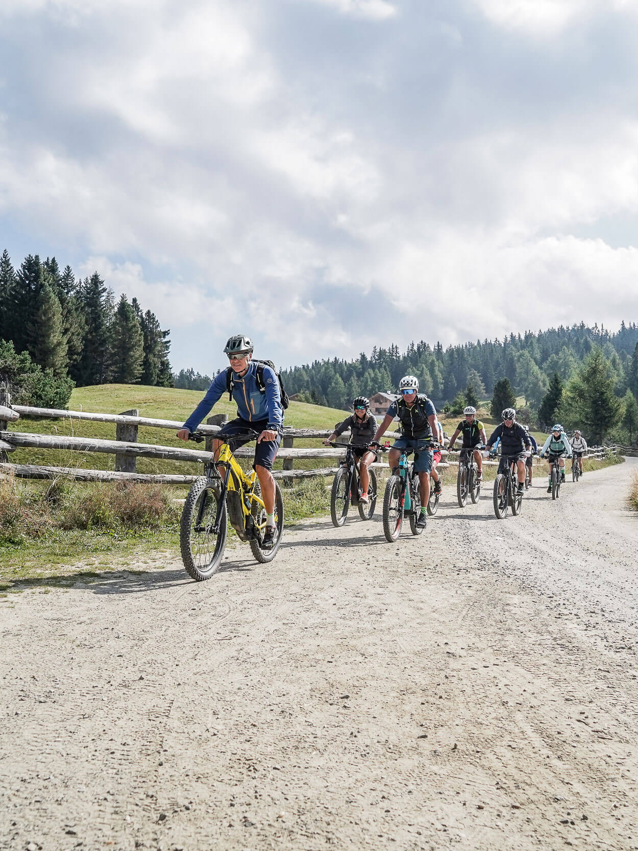
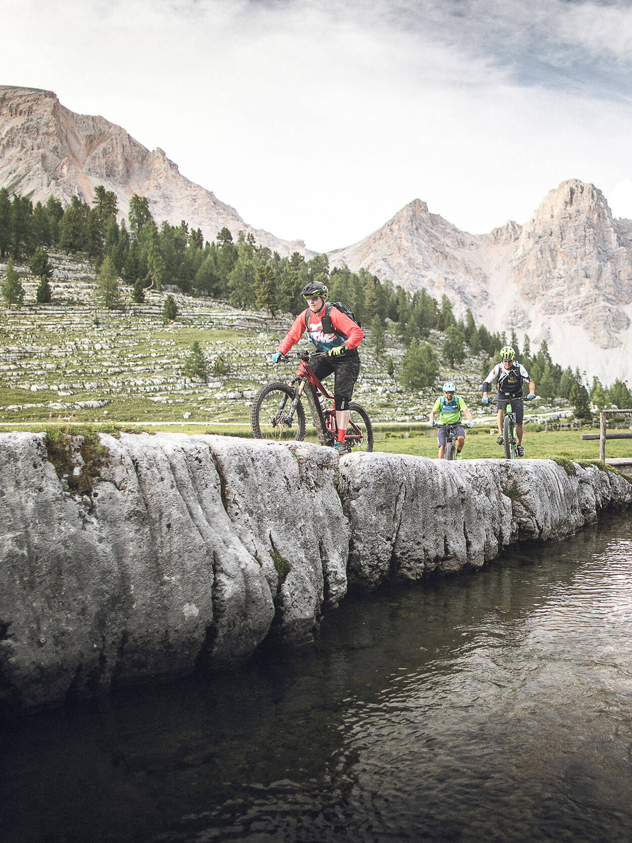
Challenging MTB tours – for experts
The tour around Plan de Corones
Do you feel like a really satisfying tour during your cycling holiday in Val Pusteria? Then read on, because this tour will be right up your street … Follow the steep and narrow no. 1 hiking trail from Riscone which takes in the villages of Santo Stefano, Palù and the nearby San Michele Castle, and finally Maria di Sares. From there a gently ascending paved road leads up to San Vigilio di Marebbe, affording some fine views along the way. At destination, you’ll be treated to a wonderful view of the nearby Val di Rudo, the massif of Santa Croce to the north, and the stunning Sass de Putia.
It is not far from San Vigilio di Marebbe to the top of Plan de Corones, but take heed: the way is steep and requires good physical fitness and stamina. From San Vigilio (1284 m) a path leads steeply up to Cianoré (1365 m) and Biei daete (1485 m); and from there, a narrow and gruelling hiking trail (no.2) and then a forest road goes on up to Col de Frades (1825 m) and the so-called “Pozza dei Cervi”, or Hirschlacke (1993 m). At some points along the way, you may need to carry your bicycle by hand. From the lake, the trail continues for approx. 1 km along the ridge and then opens out into a wide unpaved road that leads up to the top of Plan de Corones (2275 m).
Starting point: Riscone
Duration: approx. 4 hours
Length: 45 km
Difficulty: difficult, only for experts
Difference in altitude: 1,320 m
The tour of Plan de Corones - Option 2
The tour starts from the car park in Stegona, Brunico. Here you follow the road to San Lorenzo di Sebato and Santa Maria di Sares to San Vigilio, and continue as far as Passo Furcia. The 5 km ascent to Plan de Corones is not to be underestimated: it has been included in the circuit of the Giro d’Italia on several occasions and presented expert cyclists with a challenge and a half. At Plan de Corones, follow the forest road downhill towards the Ochsenalm mountain hut. When you reach the perimeter of the woods at Riscone, you will find your way back easily to the starting point of the tour.
Duration: approx. 4 hours
Length: 45 km
Difficulty: difficult
Difference in altitude: 1,350 m
Tour of the Fundres Pass
Tour of the Fundres Pass
A beautiful yet challenging day out: the tour of the Fundres Pass is not suitable for beginners, and a not inconsiderable challenge for a keen mountain biker. If you are looking for an extreme experience, then this is the one for you! From Vipiteno train station, set off in the direction of the Vizze Valley. You can easily cycle along the state road to Fossa Trues, or Fußendrass (13.5 km); we recommend however that you go around the tunnel to the right. At Fossa Trues, turn right onto the unpaved road to the Fundres Pass. Warning: to say that this section is extremely steep would be no exaggeration! You’ll be gritting your teeth for about 5 km because the gradient offers no respite. At an altitude of 1,900 m, the trail levels out and leads to the Großberg mountain hut. You’re advised to stop and rest your legs and back awhile, and to cool down with a drink while savouring the splendid view. You’ll also get your first glimpse of your destination in the distance. But don’t lose heart – you can still do it. After crossing a stream, the path continues steeply and becomes narrower and more difficult. Don’t over-exert yourself. Dismount and push your bicycle, and there are only a few more bends and metres of altitude to go.
And then, finally: the pass is conquered. An extraordinary and unforgettable sight rewards you for all your hard work! After a well-deserved break and photo session, you will have to push your bike the first part of the way down. But a great surprise awaits you: in the Fundres Valley, the path descends steadily and without interruption all the way down to the Weitenberg hut. You can stop at the hut and recoup your energies with a typical dish; and then take the forest road and return – with no further uphill struggle – to Val Pusteria and the Gorge of Dun and Vandois.
Warning: this MTB tour is a not inconsiderable challenge both uphill and downhill, and is suitable only for experienced and well-trained cyclists. That said, it is also one of the most beautiful tours in the Alps. Check the weather beforehand because even in mid-summer there can be snow at the highest point, at 2,568 m.
Starting point: Vipiteno
Duration: 6 ½ h
Length: 45 km (of which 9 km at a stiff gradient)
Difficulty: very difficult
Difference in altitude: 1,640 m
Franadega - Prato Piazza - Monte Specie
From Monguelfo, head north in Valle di Casies to Planca di Sopra. There is a gentle climb up to Franadega and then a downhill stretch to Dobbiaco. Continue through the Valley of Landro to Carbonin and turn right and ascend to Prato Piazza on the military road. The uphill road from Rifugio Vallandro to Monte Specie (2,307 m) takes a bit of effort, but you will be treated to a splendid view of the Three Peaks of Lavaredo. Return to Rifugio Vallandro, cross the plateau of Prato Piazza, descend to Braies and make your way back to Monguelfo.
Duration: approx. 5 hours
Length: 53 km
Difficulty: difficult
Difference in altitude: 1,600 m
Alpe di Rodengo
From Vandoies, take the cycle path to Rio Pusteria (763 m). Leave the cycle path at the petrol station and carry on to the centre of Rodengo. Bear left uphill, following the signs for the Alpe di Rodengo. Pass Rifugio Roner (1,832 m) and carry on to the Steineralm hut and the “Jakobsstöckl” chapel (2,026 m); then head downhill partly along a forest road or, if you prefer, along paths no. 2 + 3. At an altitude of 1,240 metres, bear left on a road which follows the mountain side mostly on the level, before continuing downhill on the cycle path again to the hamlet of Casteldarne in Elle. From there, enjoy an easy ride on the Val Pusteria cycle route back to Vandoies.
Duration: approx. 5 hours
Length: 40 km
Difficulty: difficult
Difference in altitude: 1,600 m
discover the TH …
discover more
discover more
discover more
request now
best offers
Summer Delight: Weekend Special
Summer offers the ideal opportunity to escape everyday life
01.07. - 27.09.2026
2 nights from 424 € per person

Nature & me – hike to happiness
Ready for some awesome views?
29.03. – 08.12.2026
5 nights from 845 € per person

TH E-bike week – more active, more lifestyle
There are routes for every style and level of training.
07.04. – 25.10.2026
5 nights from 905 € per person
Last Minute for Terento
Spontaneous is your middle name, bargain hunter your second?
Then you’ve come to the right place with our last‑minute offers
Strada del sole 7 | 39030 Terento
South Tyrol | Italy
Tel. +39 0472 54 61 17
info@terentnerhof.com
Arrival
browse more:
VAT ID IT01716770217 | CIN IT021096A1DTATPYWO | Editorial | Data protection | Individual cookie settings | © Webdesign by 